I will be working on updating the States Visited Map for signatures.
Step 1 is adding support for Canada. This required creating high-quality vector artwork, with each state and province being a separate object in the artwork file. (You won't find this readily available for download).
Here is the completed artwork with two different options for signatures:
Option 1:
Option 2:
Which option should we go with?
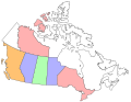
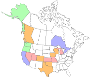
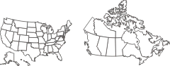
")