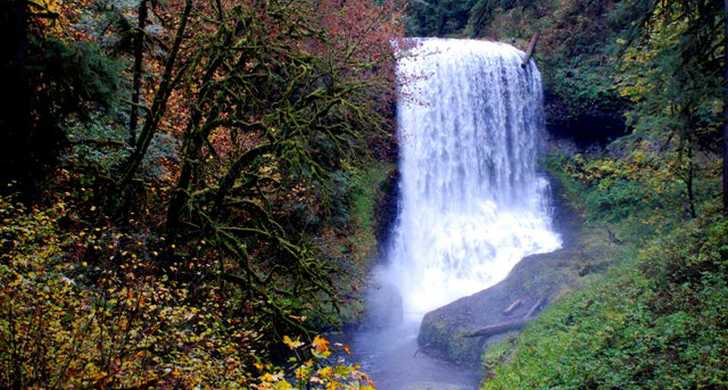
Planning a camping and photo tour of the Great Silver Falls, Oregon camping area.

It's been on the list for a few years now and since "Camping Season" is now about to start, end of Sept, trip planning begins.
It looks like the State Park will do nicely they are always clean and well kept, something WA state could take a closer look at.
Anyway, I thought there was a topic on this already, but searching was -0- so making this.
What they said:
"... Waterfalls: Where else can you walk behind a waterfall? Check out the famous South Falls and see what a 177-foot curtain of water looks like from behind. It’s part of the Trail of Ten Falls, a spectacular, nationally recognized hiking trail that weaves through a dense forested landscape. The trail passes a series of breathtaking waterfalls along a rocky canyon, and descends to a winding creek at the forest floor. This nearly 9-mile loop is considered to be a moderate hike, with an overall elevation change of 800 feet. Several connecting trails with separate access points make shorter routes. For everyone’s safety— absolutely no pets....."
Planning on mid October to try to catch some of the Fall colors.
I'll post more on my "OTRA" page, but just wanted to post for future Looky-loos... heheh
Let the Camping season begin, "BKTS" be GONE !!!!! Yaaaahh Hoooo..
State Park
Map Location Here
(and Sarah and Joan are probably excellent references I'm sure)
Fun..